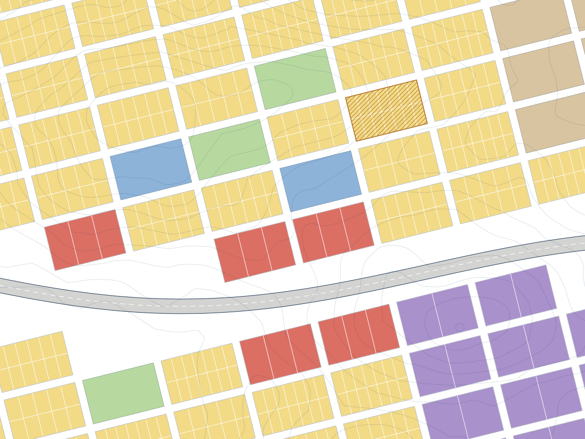
Town Planning
Frameworks, schemes and policies that set what may be built, where and on what terms.
- Spatial development frameworks
- Land use schemes and SPLUMA alignment
- Strategic spatial and municipal planning
- Planning policy and feasibility inputs

Three connected disciplines for land, development and infrastructure assignments. Each can be commissioned on its own or combined in a single assignment.
Frameworks, schemes and policies that set what may be built, where and on what terms.
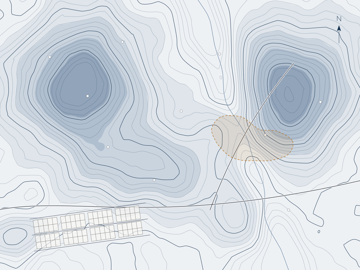
Spatial analysis and mapping that turn location data into evidence for planning and investment decisions.
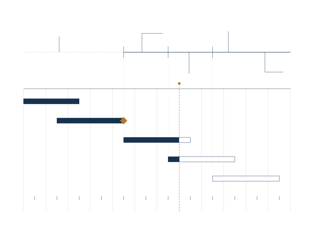
Planning, coordination and monitoring of built-environment projects and infrastructure programmes.
Planning frameworks rely on mapped evidence; mapped evidence is most useful when it informs a plan; and plans need disciplined delivery. Working across all three keeps assumptions consistent and reduces hand-offs between consultants.
About our approachDescribe the problem and we will suggest where to start.