Town Planning
Spatial development frameworks, land use schemes and planning policy that give land and development decisions a clear basis under SPLUMA.
Town planning services
Town Planning · GIS · Project Management
Roberts Analytics is a founder-led consultancy in Johannesburg, offering government and private-sector clients land use planning, spatial analysis and project management for the built environment.
Roberts Analytics was established by Robert Ndebele, a registered Professional Planner whose career spans town planning, government development projects and capital programme advisory. Clients work directly with the founder.
Three disciplines, available individually or combined in a single assignment.
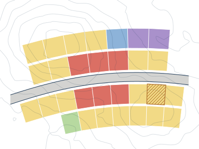
Spatial development frameworks, land use schemes and planning policy that give land and development decisions a clear basis under SPLUMA.
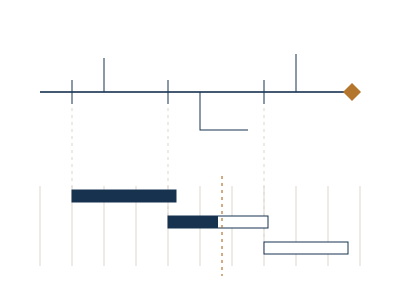
Town planning servicesSpatial analysis and mapping that show where development can go, what constrains it and what it will affect.
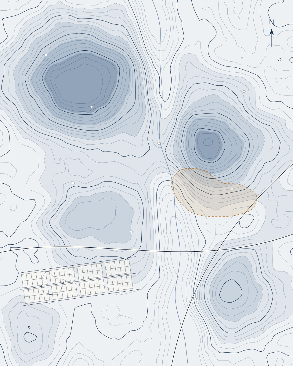
GIS servicesPlanning, scheduling and monitoring for built-environment projects and infrastructure programmes, so that decision-makers know where scope, time and cost stand.
Project management services
The expertise behind the practice
Founder · Professional Planner (Pr Pln)
Robert has more than a decade of experience in town planning, government development projects and infrastructure programme advisory. He has managed multidisciplinary planning and development assignments from scoping through delivery, and advised on the governance, scheduling and performance of large capital programmes.
Decisions about land and infrastructure depend on direction, evidence and delivery. We provide all three.
Direction
Sets the spatial and regulatory direction: what may happen on land, where, and under which rules.
Evidence
Provides the spatial evidence: mapped constraints, opportunities and impacts that planning and investment decisions can rely on.
Delivery
Turns decisions into coordinated work that is scoped, scheduled, monitored and reported.
That is what Analytics means in our name: decisions informed by technical knowledge, spatial intelligence and disciplined project thinking.
A clear sequence from the first conversation to the decision the work supports.
The decision to be made, its context, constraints and stakeholders.
Deliverables, programme and responsibilities defined before work starts.
Planning, spatial analysis or programme work, carried out to the agreed scope.
Outputs checked against the brief and aligned across disciplines.
Presentation, consultation support and help with implementation.
Tell us about the assignment, its location and its timing. We will reply by email to arrange a conversation.